Preliminary US Tornado Data For 2014
By Paul Homewood

http://www.spc.noaa.gov/wcm/torngraph-big.png
Based on provisional data, 2014 has been another very quiet year for tornadoes in the US, the third such year on the trot.
It will be a couple of months before provisional data for November and December is fully confirmed and classified. The number of confirmed tornadoes is usually much less than the provisional Local Storm Reports, as many of the latter turn out to be duplicated or are found not to be tornadoes at all.

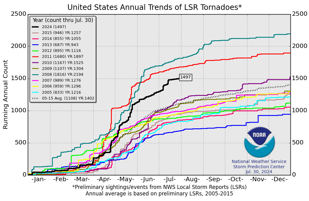
http://www.spc.noaa.gov/wcm/2014/2014-tornadoes.png
Preliminary figures up to the end of October give a total of 796, (see above). With only 53 LSR’s in November and December, the end of year total is unlikely to exceed 840. If so, this will be the fewest recorded in the Doppler era.
The previous low was 846 in 1989, but many smaller tornadoes were missed in those days prior to the introduction of Doppler technology in the mid 1990’s.
Indeed, the “inflation adjusted” trend, which factors in changing observation practices over the years, suggests that this could end up being the quietist tornado year on record since 1954.

Once we get fully confirmed numbers, we can do a more meaningful comparison by excluding the weaker EF-0 tornadoes, which were often not counted in the past.
What we can now be fairly certain of though is the number of EF-3 and stronger tornadoes. The October figure shows 26 of these, and NOAA report that there were none in November.
The Storm Prediction Center list one EF-3 at Columbia, Mississippi on Dec 23rd, so we have a preliminary total of 27 for the year.
This continues the long term decline in the number of violent tornadoes since the 1970’s.

Source
All data from the Storm Prediction Center.
Comments are closed.

Thanks for the update- much appreciated. With Inhofe in charge this info will get more play. Best in 2015.
The map shows Washington State with 3 tornadoes. One of them is reported on with photos, here:
http://www.katu.com/news/Reports-of-funnel-cloud-damage-in-Cowlitz-County-280228332.html?tab=gallery&c=y&img=1
I recall how some UK media outlets like to use photos that are more scary looking than the topic of their articles warrant. So now look at this next report of the Longview tornado:
http://seattle.cbslocal.com/2014/10/23/tornado-does-damage-in-washington-state/
The image used for this story is from Cordell, Oklahoma, May 22, 1981:
http://www.photolib.noaa.gov/htmls/nssl0054.htm
This is an F2 with a tall thin column and backlit with an orange sky. It is used as the cover photo on a set of images from the National Severe Strom Laboratory:
http://www.photolib.noaa.gov/nssl/tornado1.html